
Key facts
- Manuals
- 1
- Languages
- EN
- Last added
- 2023-10-21
Featured Service First manuals
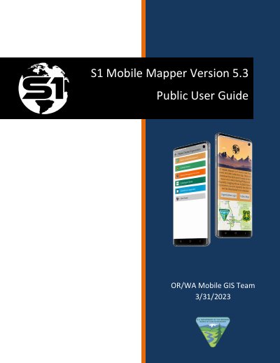
Service First S1 Mobile Mapper Version 5.3 User Manual
This user guide explains how to use the S1 Mobile Mapper app, a custom GIS tool built by Service First for offline map viewing and data collection. It covers launching the app, navigating maps, activating GPS, downloading basemaps, and using tools like GPS tracklogs, waypoints, and geotagged photos. The app runs on Android using ESRI Runtime SDK and is designed for users without internet access. External Bluetooth GPS receivers can be connected for improved accuracy.
The guide includes detailed instructions for managing map layers, creating sketches, measuring distances, and finding nearby features. It also explains app settings, coordinate systems, and how to submit feedback or report bugs via the provided web forms.
Covers: Launching Application · Welcome Screen and Public Mode · Application Interface · Map View Rotation · Activate GPS · About S1 Menu
Latest Service First manuals
Service First S1 Mobile Mapper Version 5.3 User Manual
User Manual 59 pages · 7 MB · ENUser guide for Service First's S1 Mobile Mapper app, version 5.3, for offline map viewing and data collection on Android devices.
Which document do I need?
User Manual
Day-to-day operation, settings and troubleshooting. Start here if the product is already set up.
Questions answered in Service First manuals
What is the S1 Mobile Mapper?
The S1 Mobile Mapper is a custom application built by the Service First (S1) Mobile GIS team, sponsored by Oregon State Office Bureau of Land Management (BLM) and Region 6 U.S. Forest Service (USFS).
From: Service First S1 Mobile Mapper Version 5.3 User Manual
What devices can run the S1 Mobile Mapper?
The application runs on mobile devices running the Android operating system.
From: Service First S1 Mobile Mapper Version 5.3 User Manual