
Key facts
- Manuals
- 2
- Languages
- EN
- Last added
- 2023-10-26
Featured USACE manuals
USACE Dam Breach Downstream Mapping Production Guide
This guide outlines the procedures for creating standardized downstream mapping for dam breach scenarios. It covers pre-model data preparation, modeling with HEC-RAS, software requirements, and detailed mapping steps including annotation, data setup, and PDF export. The guide is intended for MMC GIS/Mapping team members and references specific tools like the MMC Utilities Toolbox and ArcGIS Pro.
The document includes detailed instructions for setting up map series, configuring data sources, applying annotation styles, and exporting final products. It also provides specifications for fonts, colors, and symbols used in maps, ensuring consistency across all deliverables.
Covers: Pre-Model Data · Modeling · Software Requirements · MMC Utilities Toolbox · Map Series Setup · Annotation
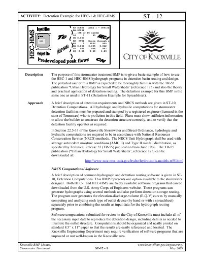
USACE HEC-1 & HEC-HMS Detention Example Manual ST-12
This document serves as a basic example for using the HEC-1 and HEC-HMS hydrograph programs for detention basin routing and design. It is intended for users familiar with the TR-55 publication and the theory of detention routing. The manual explains that all hydrologic and hydraulic computations must be prepared by a registered engineer proficient in the field.
The text provides an overview of HEC-1, a DOS-based program, detailing its input card structure and data entry requirements. It also covers HEC-HMS, a Windows-based successor, explaining its component types (Basin, Meteorological, Control) and usage tips. The document includes specific hints for improving output precision and managing data files for both software versions.
Covers: Description · Overview of HEC-1 Software · Hints for Using HEC-1 Example File · Overview of HEC-HMS Software · Other Hints for Using HEC-HMS Software
Latest USACE manuals
USACE Dam Breach Downstream Mapping Production Guide
User Manual 92 pages · 2.1 MB · ENStep-by-step guide for producing dam breach downstream mapping using MMC GIS tools and HEC-RAS models.
USACE HEC-1 & HEC-HMS Detention Example Manual ST-12
User Manual 14 pages · 478 KB · ENA guide providing a detention example for the HEC-1 and HEC-HMS hydrograph programs, including software overviews and usage hints.
Which document do I need?
User Manual
Day-to-day operation, settings and troubleshooting. Start here if the product is already set up.
Questions answered in USACE manuals
What software is required to follow this guide?
ESRI ArcGIS Pro (with Spatial Analyst and 3D Analyst extensions), HEC-RAS, Adobe Acrobat Pro, Microsoft Office, ProjectWise Explorer, and Google Earth Pro.
Where can I download the MMC Utilities Toolbox?
Download from ProjectWise at: pw:\\PWINT-WPC.EIS.DS.USACE.ARMY.MIL:CE - MMC\Documents\Programs and Activities\MMC2\ProgramData\3_Mapping Branch\Documents- Templates\Mapping_Documentation\4.6_Automation\FY20\
What specific rainfall distribution and antecedent moisture conditions are required for hydrologic computations in Knoxville?
The computations must use the NRCS Type II rainfall distribution with average antecedent moisture conditions (AMC II).
From: USACE HEC-1 & HEC-HMS Detention Example Manual ST-12
What is the maximum line length allowed for HEC-1 input data fields?
Each line of the HEC-1 input file must have a maximum length of 80 spaces or columns.
From: USACE HEC-1 & HEC-HMS Detention Example Manual ST-12